Facebook Live
Facebook Live event hosted by the Mt. Washington Observatory, New Hampshire, USA
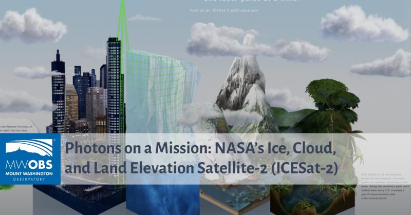
Launched in 2018, the Ice, Cloud, and Land Elevation Satellite-2, or ICESat-2, is one of NASA’s current missions measuring the height of our changing Earth. Using a photon-counting laser altimeter (space laser!), ICESat-2 allows scientists to measure the elevation of ice sheets, glaciers, sea ice and more- all in unprecedented detail. Join NASA Senior Earth Science Specialist Brian Campbell to learn more about how ICESat-2 helps scientists investigate why, and how much, our cryosphere is changing in a warming climate. Brian will also discuss how citizen scientists from around the world can take tree height measurements using their mobile devices with the GLOBE Observer App and compare these ground-based tree height observations with those space-based tree height observations from ICESat-2.