US Hydro 2025, Wilmington Convention Center, Wilmington, NC
The applications team for the NASA ICESat-2 mission will host a satellite-derived bathymetry (SDB) workshop that will aim to bring together SDB end-users, algorithm developers, operators, and decision makers to discuss the current state and future needs of the community. Through this gathering we hope to foster synergies and collaborations between different sectors.
Satellite-derived bathymetry (SDB) refers to the process of mapping the seafloor using satellite imagery. This remote sensing technique analyzes light penetration and reflection in water to estimate depths. SDB provides cost-effective, surveys with wide coverage and quick results. Applications of SDB include, but are not limited to, coastal zone management, disaster response, marine habitat mapping and maritime navigation. The SDB workshop will provide an opportunity for the government, academic and private sectors to share their SDB research, applications, and data fusion activities to support decision making and policy support across a wide range of activities.
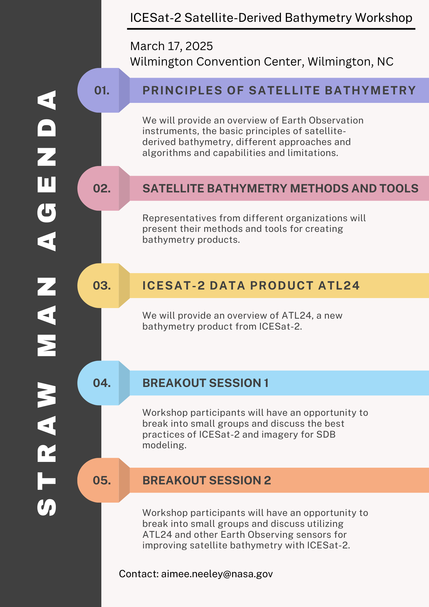
Overall, the objectives of the SDB workshop are to: Provide an overview of earth observation and SDB principles. Review available SDB data tools. Provide a summary of the newest ICESat-2 bathymetry product ATL24. Identify use cases across all sectors (commercial, government, academia). Host two breakout sessions with cross-cutting themes. Provide opportunities for open discussions and development of collaborations.
We plan to fulfill these objectives through plenaries, discussions, and thematic breakout sessions.
Webex link for hybrid option: https://nasaenterprise.webex.com/weblink/register/re29f7b5d540423717ed8…
You can contact aimee.neeley@nasa.gov for more details.